Three cities from three completely different eras. Each built with an intelligence that modern urban planners still study with genuine astonishment. All of them now silent.
- Mohenjo-daro had covered sewage drains and indoor plumbing in 2500 BCE, four thousand years before London
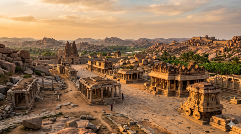
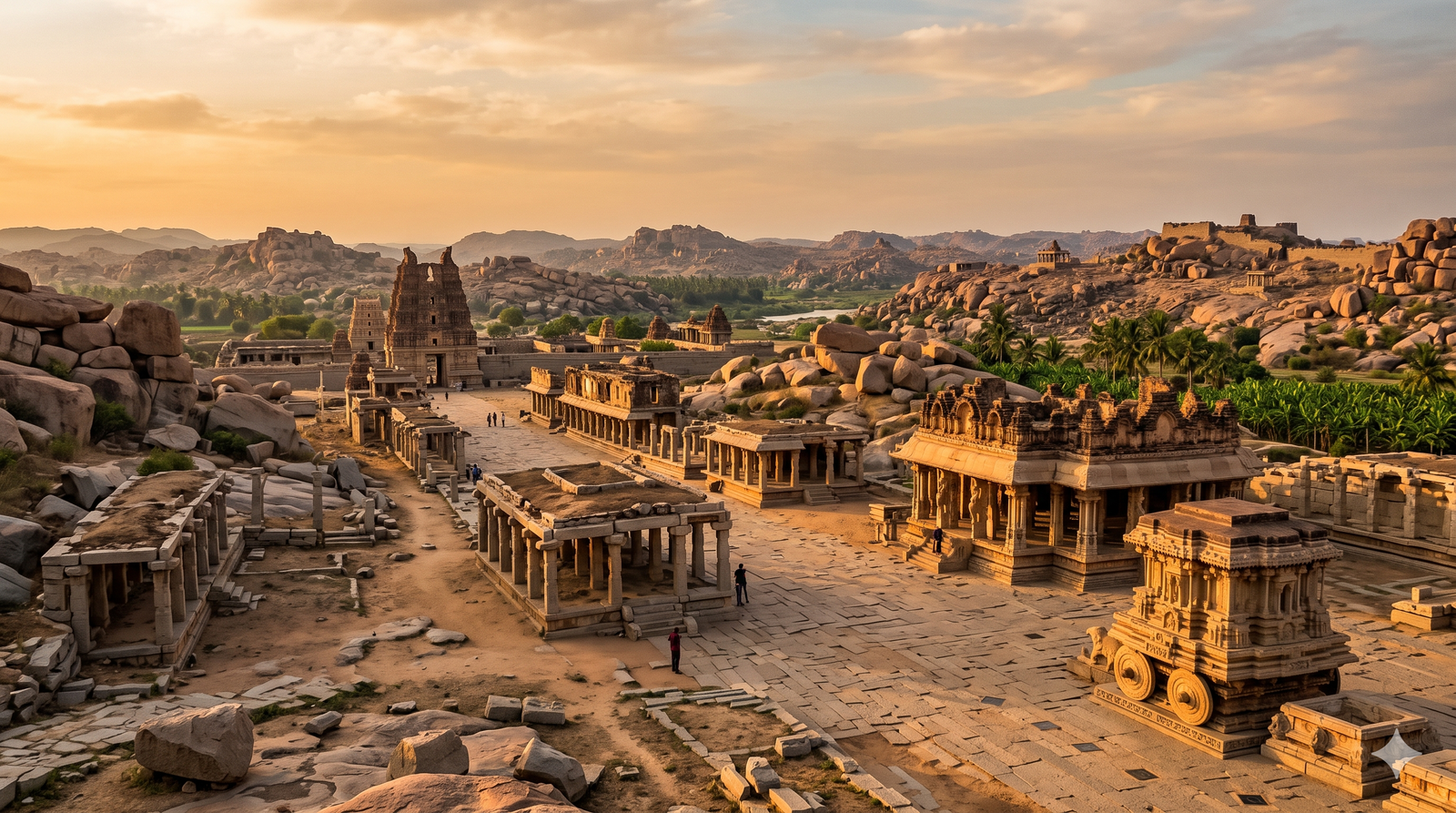
- Hampi’s Vijayanagara city plan extended across 650 square kilometres and held over 500,000 people
- Fatehpur Sikri was built in fourteen years and abandoned within fifteen, yet it stands perfectly intact
- Dholavira in Gujarat had a water reservoir system sophisticated enough to survive decade-long droughts
Ancient Indian city planning begins with a drain. Not a palace, not a temple, not a throne room or a treasury. A drain. The covered sewage channels that ran beneath the streets of Mohenjo-daro and Harappa in 2500 BCE are so precisely cut, so systematically designed and so clearly the product of sustained civic engineering thought that archaeologists who first uncovered them could not believe what they were looking at. No other civilisation of that era, not Mesopotamia, not Egypt, not the early cities of China, managed wastewater with anything approaching the same sophistication. Mohenjo-daro had indoor plumbing, public baths and a centralised sanitation system four thousand years before London had anything comparable. The city that built it had a name we do not know. The civilisation that designed it left no deciphered written records. What it left instead was infrastructure so good that it explains itself.
India built three of the most extraordinary cities in human history across three completely different eras and three completely different political contexts. Each one was abandoned. Each one left behind physical evidence of urban intelligence so advanced that it continues to generate serious academic study. This is their story.
Mohenjo-daro: The City That Invented Infrastructure
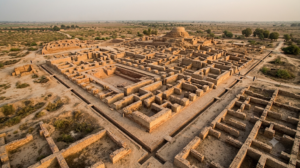
Built around 2500 BCE at its peak, Mohenjo-daro was home to approximately 40,000 people and was the most advanced city in the world in terms of urban planning and sanitation. The city is divided into two distinct zones: the Citadel, a raised mound approximately 12 metres high containing public buildings including the famous Great Bath, and the Lower City, a residential area laid out in a strict orthogonal grid of intersecting streets.
The grid itself is what stops modern planners in their tracks. Mohenjo-daro’s streets run in cardinal directions, with major thoroughfares wide enough for two carts to pass simultaneously and narrower lanes branching off at right angles into residential blocks. The standardisation is remarkable: bricks across the entire Indus Valley Civilisation were made to the same proportional specifications, suggesting a degree of centralised planning and material standardisation that was not seen again at comparable scale until the Roman Empire, two thousand years later.
The Great Bath, the largest structure in the Citadel, is a watertight tank approximately 12 metres long, 7 metres wide and 2.4 metres deep, lined with precisely cut bricks and sealed with bitumen. It was fed by a large well and drained by a corbelled brick drain. No other public building of this scale and purpose existed anywhere in the ancient world at this time. The drain that runs from it beneath the street is still structurally intact. The city’s houses had private wells, bathing rooms and waste chutes connected to covered brick drains beneath the main streets. The drains ran on gravity, carried sewage out of the city and were designed with inspection chambers at regular intervals. This was not improvised engineering. It was a planned civic system, maintained and upgraded across centuries of occupation.
Dholavira: The City That Managed Water in a Desert
Less famous than Mohenjo-daro but arguably more astonishing, Dholavira in the Rann of Kutch in Gujarat represents the Indus Valley Civilisation’s most sophisticated response to an extreme environment. The site sits in one of the most arid parts of the Indian subcontinent, where rainfall is scarce and droughts are common. The people who built Dholavira understood this and built their entire city around the management of water.
Dholavira’s water harvesting system consisted of a series of reservoirs cut into bedrock and connected to the city’s drainage network, capable of capturing and storing monsoon rainwater with enough capacity to sustain the city through prolonged dry periods. Archaeologists studying the site have identified at least sixteen reservoirs of different sizes, arranged in a hierarchy that managed both storage and distribution. The city’s streets were designed to channel rainwater toward these reservoirs rather than away from them. Every element of the urban plan was oriented around the problem of water in a landscape that made water scarce. UNESCO inscribed Dholavira as a World Heritage Site in 2021, calling it one of the most remarkable and unique urban settlements of the ancient world.
Hampi: The City That Covered 650 Square Kilometres
Jump forward two thousand years and several thousand kilometres to the south, and you find a completely different kind of urban genius. Hampi, the capital of the Vijayanagara Empire, was at its peak in the 14th to 16th centuries one of the largest cities in the world. Contemporary visitors described a city of extraordinary wealth, beauty and scale that was home to between 500,000 and 1 million people, making it larger than Rome, Paris or London at the same period in history.
The Vijayanagara city plan extended across an area of approximately 650 square kilometres, integrating temples, palaces, markets, irrigation systems, military fortifications, residential neighbourhoods and agricultural land within a single coherent urban framework. The rocky landscape of the Deccan plateau, with its extraordinary granite formations, was not treated as an obstacle but as a resource. Temples were built into and around the rocks. Fortification walls followed the natural ridge lines of the terrain. Water was managed through an extensive network of canals, tanks and aqueducts that brought irrigation to the agricultural zones surrounding the urban core.
The Hampi bazaar, running for nearly a kilometre in a straight line from the Virupaksha Temple to the Krishnaswami Temple, was described by a Portuguese traveller in 1522 as a street of great commerce where everything was sold, lined with beautiful buildings on both sides. What remains of it today, the stone plinths of the merchant buildings still visible along the street, gives you the bones of one of the ancient world’s great commercial arteries. The city was sacked and burned by the Deccan Sultanates in 1565 and never rebuilt. What the fire left behind has been a UNESCO World Heritage Site since 1986.
Fatehpur Sikri: The Mughal City That Lasted Fifteen Years
In 1569, Emperor Akbar chose a rocky ridge 37 kilometres from Agra to build his new imperial capital. By 1585, he had abandoned it. In between, he built one of the most architecturally coherent cities ever constructed, a walled complex of palaces, courts, mosques, gardens and public buildings that synthesised Mughal, Hindu and Jain architectural traditions into something entirely new. Fatehpur Sikri was built in approximately fourteen years. It has stood for over four centuries. The reason Akbar left is still debated: water shortage, military necessity and changing political priorities have all been proposed. What he left behind is a city frozen in the moment of its completion, more complete and more intact than almost any other Mughal urban site in existence.
The city’s planning reflects a sophisticated understanding of hierarchy, circulation and ceremony. The Diwan-i-Khas, the Hall of Private Audience, contains a central column supporting a circular platform from which Akbar held court, with four bridges connecting the platform to the surrounding galleries. It is a room designed around a specific theory of power and visibility. The Buland Darwaza, the grand gateway to the Jama Masjid, rises 54 metres above the surrounding courtyard and is the highest gateway in the world. It was built to commemorate Akbar’s victory in Gujarat and inscribed with a verse from the Quran about the transience of worldly things. A city built in fourteen years and abandoned in fifteen, covered in reminders that nothing lasts. UNESCO inscribed Fatehpur Sikri as a World Heritage Site in 1986.
India built extraordinary cities in an extraordinary range of conditions, from the sewered streets of the Bronze Age to the granite temples of the medieval south to the red sandstone courts of the Mughals. Every one of them was abandoned. Every one of them survived. The cities do not need us to sustain them. We need them to understand ourselves!